

The extremely isolated sibling towns of Wendover, Utah and West Wendover, Nevada lie 100 miles/160 kilometers directly west of Utah’s Wasatch Front. This desert community is the jumping off point for circumnavigating the Silver Island (SI) Mountains. Carol and I arrived at the Best Western Hotel in Wendover on a Thursday afternoon. The very next morning, June 21st, Solstice Day, we took off on our desert outing. Later that afternoon, we returned to the hotel for showers and then enjoyed dinner at Pancho and Willy’s located in the Peppermill Casino in West Wendover.

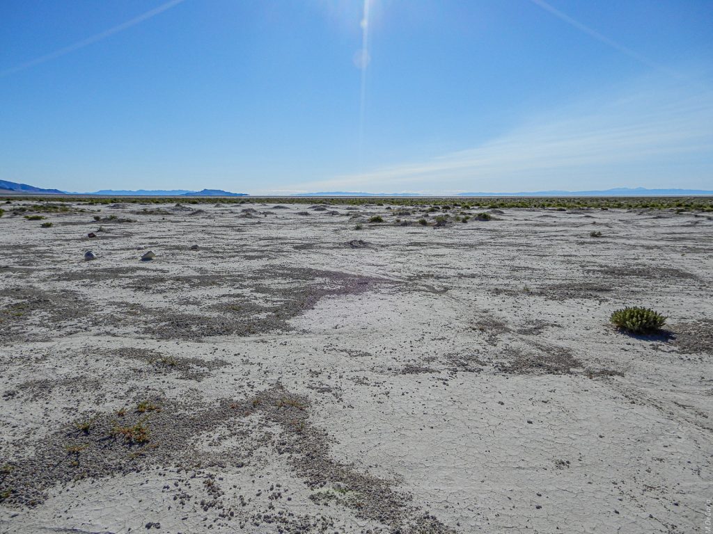
The Great Salt Lake Desert (#1)
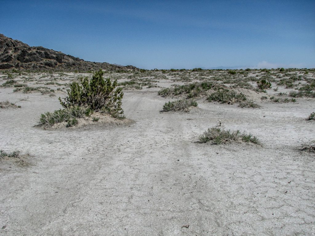
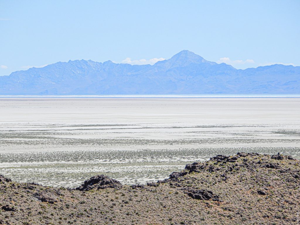
The southeastern flank of the Silver Island Mountains provided our first stop. This view is looking ENE across the desert. On the left, the most eastern point of the SI mountains pokes into the frame. Next in the far distance are the Newfoundland Mountains. We will see them in more detail later on. Then the darker blue is Floating Island. More about that later, also. In the middle along the horizon are the little visited Grassy Mountains about 50 miles/80 kilometers away on the the other side of this part of the Great Salt Lake Desert. Salt Lake City and the urban corridor of the Wasatch Front lie about 40 miles/64 kilometers beyond those mountains. Finally, on the right are the Cedar Mountains, the western boundary of the aptly named Skull Valley. In 1846 the Donner Party made a five-day waterless march from the Grassy Mountains to this eastern tip of the SI Mountains. On the way they skirted the far side of Floating Island.
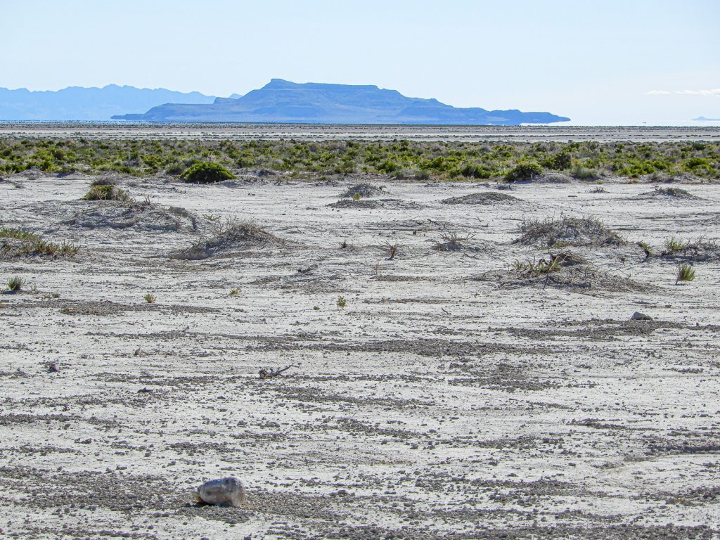
Floating Island (#2)
Floating Island is situated just south of the eastern tip of the SI Mountains. Here it is 14 miles/23 kilometers away. Due to the curvature of the Earth, the landform appears to be floating from any but the nearest vantage points. The Donner Party and other passersby knew Floating Mountain by that very name, although they knew the SI Mountains only as the Barren Mountains. The Newfoundland Mountains look close to the left but they are really 20 miles/32 kilometers beyond Floating Mountain. Telephoto lenses, of course, artificially collapse distances. The slightest tip of the Grassy Mountains makes an appearance on the right. The dot between the south end of Floating Mountain and the north end of the Cedars appears on no maps available to me. Its location in the middle of the Utah Test and Training Range (UTTR) might suggest that it is a structure used in the training of fighter pilots stationed at Hill Air Force Base (HAFB) in Clearfield, Utah. During the several hours we were on the desert that day, no training took place.
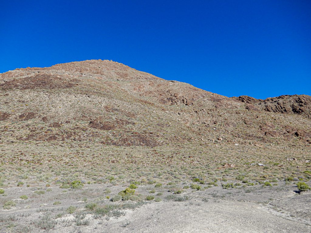
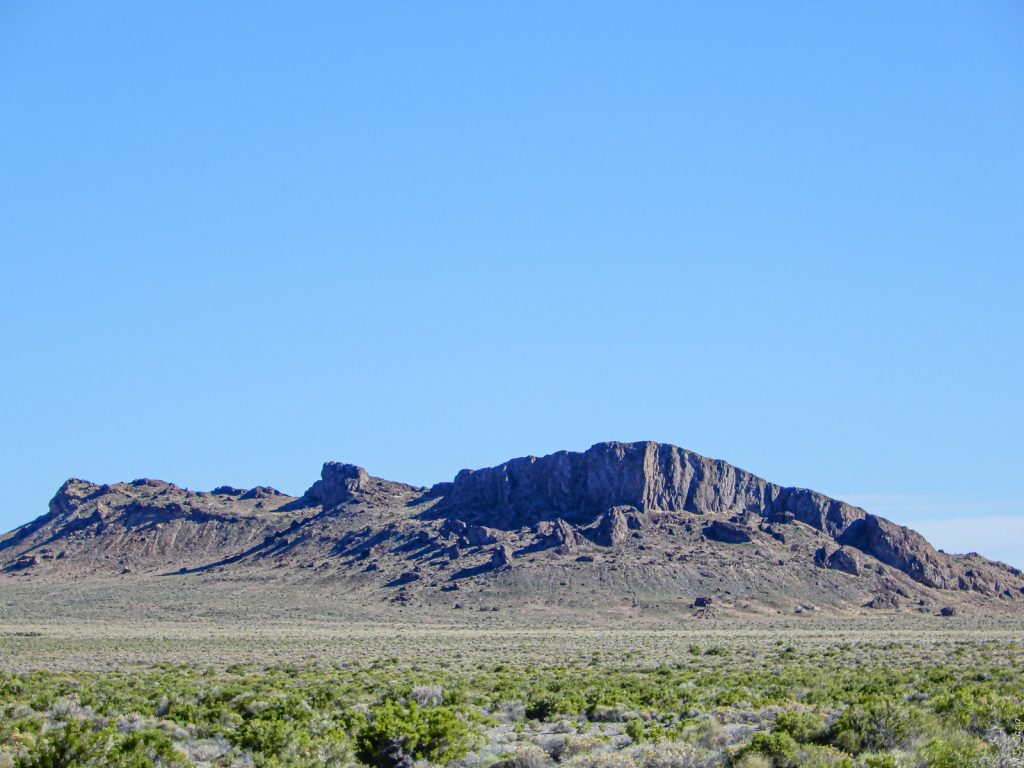
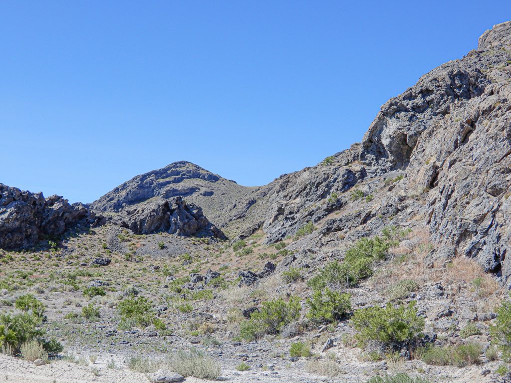
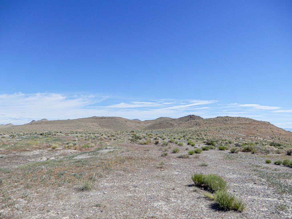
A Flank of the Silver Island Mountains (#3)
This is a low lying foothill. The blue of the sky was the color of the sky at that moment. I promise that I did not play around with any sliders in Lightroom. A cold front had passed through Utah the day before and left behind pristine air and a bit of a chilly north wind. I love the smell of the desert: A simple blend of light dust and nothing else. Two terraces of Lake Bonneville are evident, and I will talk of them later.
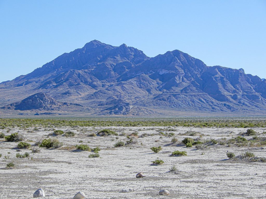
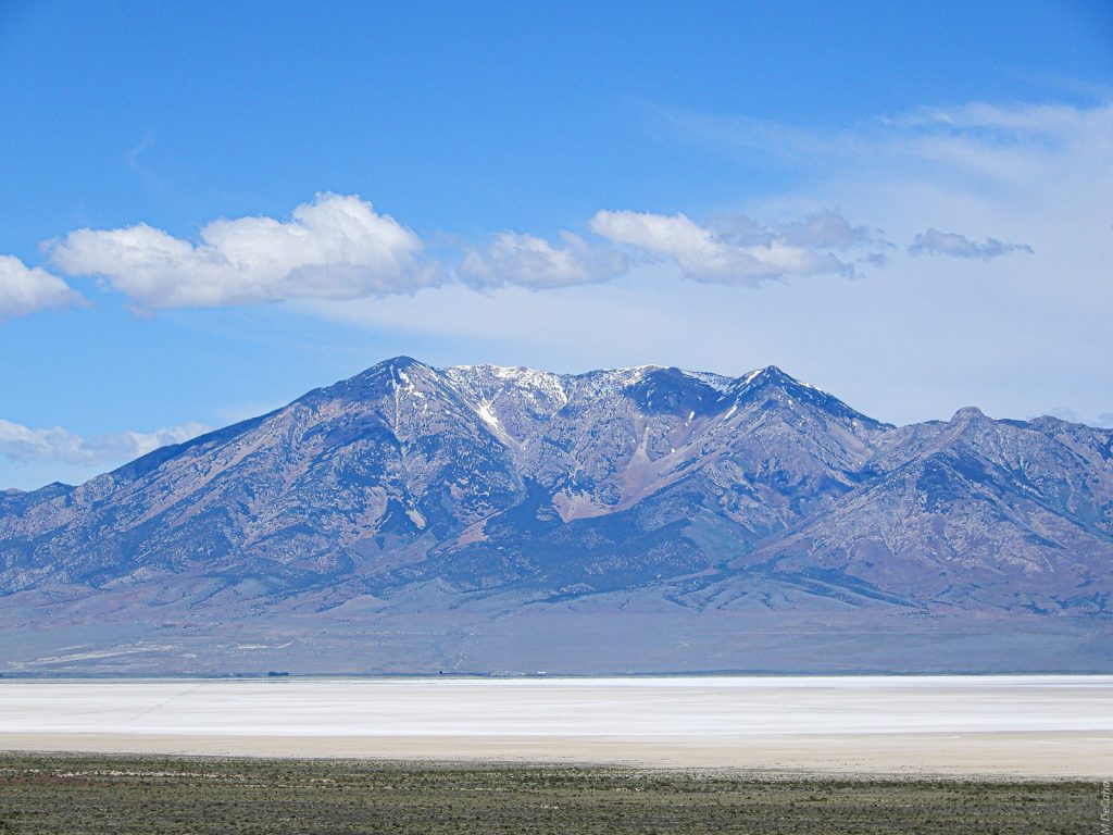
Lamus Peak (#4)
Lamus Peak stands at 6284 feet/1915 meters above sea level (ASL). The desert surrounding the SI Mountains is nominally 4215 feet/1285 meters ASL. The vertical rise to the peak is, therefore, 2069 feet/631 meters. Now about those Lake Bonneville terraces. The Provo terrace is prominent about one-quarter the way up the mountain. The Provo is nominally 4740 feet/1445 meters ASL. In this photo the Bonneville terrace at 5090 feet/1551 meters ASL is faint but still visible about the same distance above the Provo as the Provo is above the desert. Because Lake Bonneville was at the Provo level more recently than it was at the Bonneville level, the Provo terrace has been subjected to less erosion than the Bonneville level. The Provo level may have existed about 14,500 to 13,500 years ago.
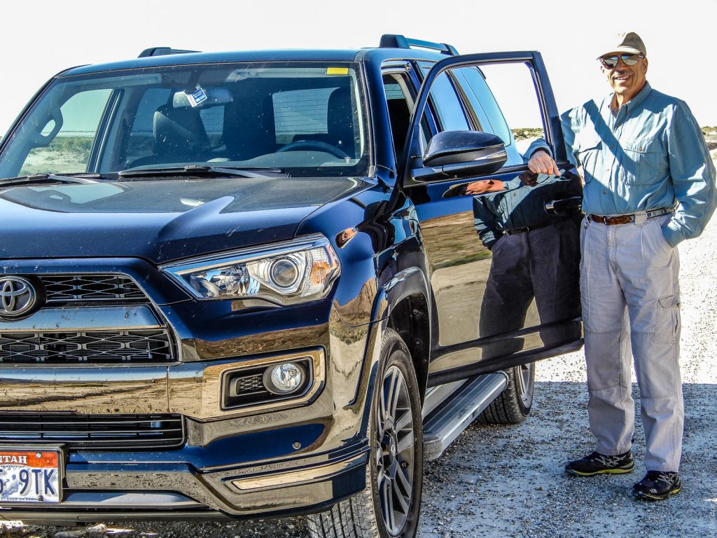
The Author (#5)
Dirt roads permit a close connection to Earth.
Another Flank of the Silver Island Mountains (#6)
This view is closer to the east end of the range. Because this photo was taken at mid morning, some contrast is evident. Part of my thinking for this outing was that it was Solstice Day. Ansel Adams bemoaned bald headed days that were completely overcast or completely cloud free. This was an extreme bald headed day because, in addition to the no clouds, the sun as the single light source was heading for the top of the sky, as high as it can ever get.
Floating Island (#7)
Both the Provo Terrace, about one-third up from the line of the horizon, and the Bonneville Terrace, just below the peak are evident. The Bonneville level may have existed 16,000 to 14,400 years ago. Scientists are still gathering data about the terraces, and the fossil data and the geological data offer diverging conclusions about their ages. I welcome comments from scientists who are doing or have done research about the geoantiquities of Lake Bonneville.
Looking ENE from the Eastern Point of the Silver Island Mountains (#8)
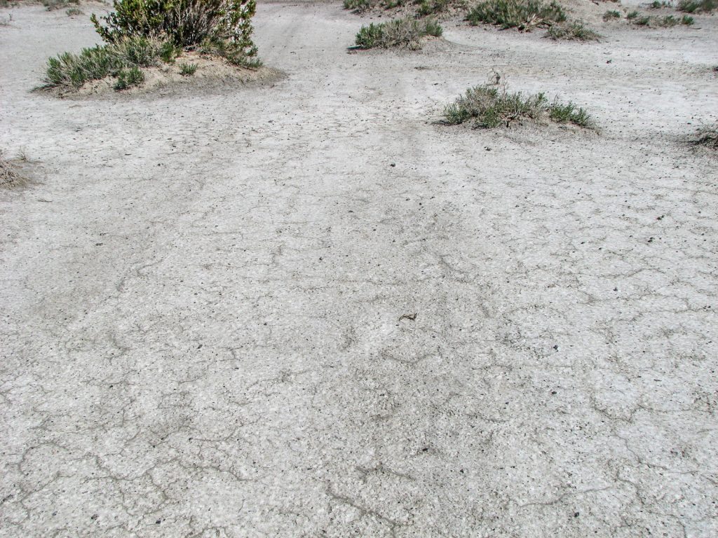
This is the exact point that the Donner Party encountered what they called the Barren Mountains. Carol and I scoured the desert here to rediscover the traces their wagons left here but to no avail. I say “rediscover” because we did find their tracks when we were here 10 years ago. Lately, the precipitation has been so heavy that runoff from the SI Mountains has left a black, gritty coating on the desert floor. When the vestiges of the mid-19th century wagon wheels are visible, they present as a discoloration in the salty surface and not as indentations such as the motorcycle tire imprints in the foreground. So, no pioneer wagon tracks in this photo, but please see the next two photos.
Donner Party Wagon Track Marks (#9)
I took this photo on 14 Jul 2009. The view is due west and looking at the NE tip of the SI Mountains penetrating from the left. Those tracks were first made in 1846, exactly 100 years before my birth. For the sake of accuracy, a few other California-bound parties rode this route as late as 1850. Like the Donner Party, they experienced terrible losses in oxen, wagons, and supplies on the Salt Flats to my rear. Please see the first photo of this post.
Donner Party Wagon Track Marks-Closeup (#10)
A closeup view of the previous photo. Notice how the vegetation has grown over the tracks. Also, notice the hardpan of the desert surface compared to the gritty surface we encountered this trip. I am most grateful that I witnessed these tracks 10 years ago because it is not known if, let alone when, they might reappear.
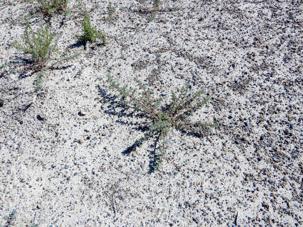
Vegetation on the Donner Trail (#11)
Back to 2019. Although I could not find the tracks, I could not resist this red-stemmed plant flourishing in the alkaline soil. Again, notice the abundance of grit and pebbles lacking in the 2009 photos.
A Side Canyon (#12)
The northeastern tip of the SI Mountains is just a few hundred meters to the right. Runoff from this east facing canyon may be responsible for the debris hiding the Donner Tracks.
Crater Island Mountains (#13)
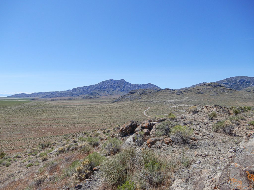
This scene is looking due north from Donner-Reed Pass. The Crater Island Mountains are a small north-south range connected to the SI Mountains and are separated from the latter by the Donner-Reed Pass. Carol and I hiked up this ridge north of the pass, just to see what was here and what we could see from here. The stark desert landscape, clouds on the horizon and the blue sky all speak for themselves. Speaking of the clouds they are likely orographic, i.e. caused by mountains. Those mountains would be the Raft Rivers which range east-west and are in northern Utah with some spill over into Idaho. From here they are beyond the horizon at about 75 miles/121 kilometers distant. If you relax your gaze, you can see the Provo Terrace of Lake Bonneville near the top of the near (brown) ridge line both to the right and to the left of the center depression.
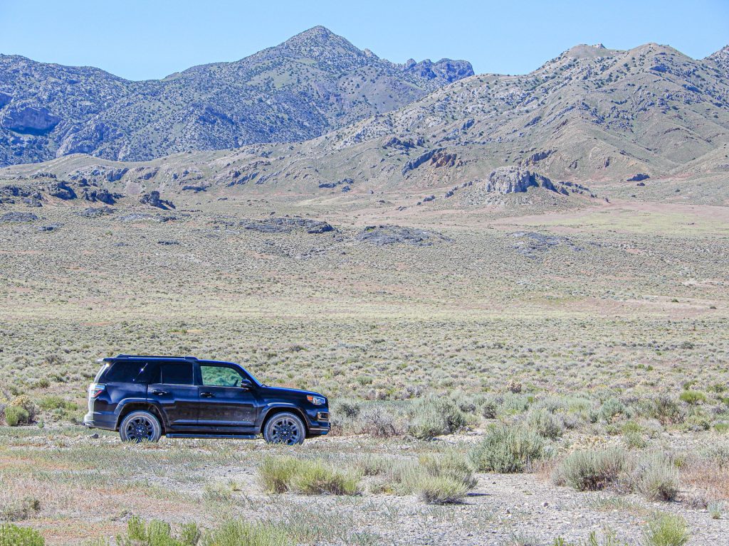
Donner-Reed Pass with Graham Peak (#14)
Donner-Reed Pass is a wide swath with the SI Mountains to the south and the Crater Island Mountains to the north. Here I am a few hundred meters north of the east-west road over the pass and looking south to Graham Peak, 7563 feet/2305 meters ASL. My 4Runner is parked at 4400 feet/1848 meters ASL. Across the way and extending from one side of the photo to the other, you can see Provo Terrace. Above it and on the right side only is the Bonneville Terrace.

Pilot Peak and the Pilot Range (#15)
From a ridge on the south end of the Crater Mountains and looking almost due west. Pilot Peak is 10,719 feet/3267 meters ASL. It rises 5725 feet/1745 meters above the salt flat.
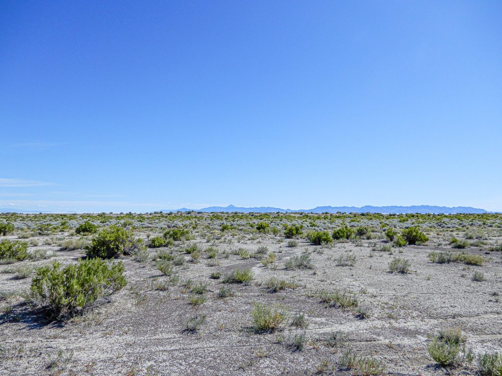
The Western Desert (#16)
Looking NW from the same vantage point as the previous photo. A salient from the nearby Crater Mountains enters on the right and the north end of the Pilot Range on the left. A true wilderness!
Northwestern End of the Silver Island Mountains (#17)
Again from the same ridge near the Donner-Reed Summit as the previous two photos. This time looking east. The point where the Donner party first touched the “Barren Mountains” is on the horizon at the left extremity of the frame. The high point on the ridge is Cobb Peak at 7021 feet/2140 meters ASL. Notice how green the desert is as a result of the unusually wet winter and spring.
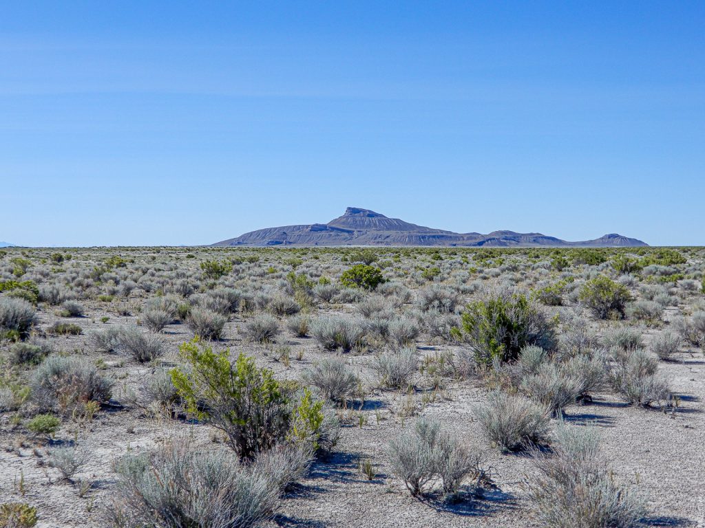
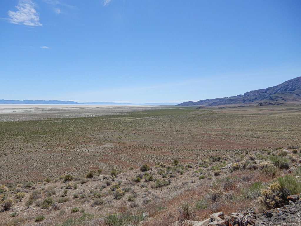
Desert Peak and the Newfoundland Mountains (#18)
Staring northeast across the heart of the Great Salt Lake Desert. Desert Peak stands at 7005 feet/2135 meters ASL and is 24 miles/39 kilometers away. Most of the real estate in this photo is in the UTTR. On the other side of the Newfoundland Mountains is more desert, the Lakeside Mountains, the Great Salt Lake itself, and finally the urban corridor of the northern Wasatch Front and the Wasatch Mountains. Traveling I-15 in the Clearfield/Sunset area of Davis County, I can sometimes see the top of Desert Peak poking up behind the Lakeside Mountains. That is a distance of 50 miles/80 kilometers. Finally, note the low contrast of this desert scene with the solstice sun just 18 degrees from the top of the sky.
Pilot Peak (#19)
The pioneers named this peak “Pilot” because it guided them to a spring at the base of the mountain. The Donner Party spent four days replenishing before moving on. How about those orographic clouds which provide some contrast! The peak itself lies in Nevada just 2 miles/3.3 kilometers west of the Utah border. Therefore, much of this scene lies in Utah. When I was a boy, my family would sometimes take long road trips on then US Highway 40 (now Interstate 80) which passes to the south (right) of Pilot Peak and not visible in this photo. Because Pilot Peak is so magnificent, I always wished it were in Utah. Our purpose in those trips was to visit my maternal grandparents in Redding, California.
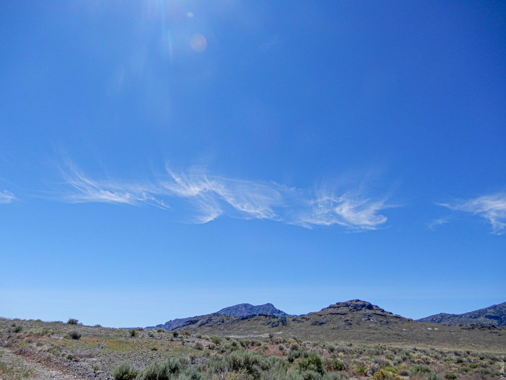
Cirrus Clouds over the Silver Island Mountains (#20)
As Carol and I were playing around at the Donner-Reed Pass, she looked back to east and noticed these beautiful, newly created orographic clouds. They formed over the SI Mountains from the rising air currents.
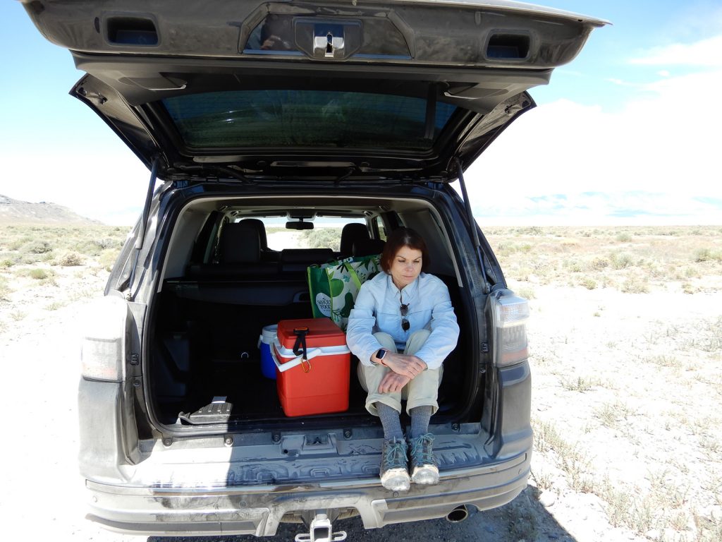
After Lunch at Donner-Reed Pass (#21)
Carol and I ate our lunch in the back of the 4Runner. Notice all the dust! We sat on either side of the cooler and used the lid for a table. The menu was rolls filled with ham and baby Swiss cheese, cottage cheese, grapes, ice tea, and cookies.
From here we drove SW and S along the northwestern side of the SI Mountains. Before we could get to Leppy Pass and then back to pavement and Wendover, we were treated to the sight of a magnificent pronghorn (colloquially, “pronghorn antelope”) at full gallop. He was bounding across the desert from our right. He then passed directly front of us and continued to the left. I immediately suspected that he was playing decoy, probably to lead us away from his harem. After several hundred meters, he did stop and turned to stare at us and to make sure that we were, indeed, heading away. What an honor to interact even briefly with such majesty!
(Correction 12 Aug 2020: In the original post, I said the pronghorn was leading us away from “the doe and the kids.” Carl Brozowzy, my brother-in-law and wildlife expert, informed me that pronghorn bucks do not participate in caring for the young and that this animal likely had had another purpose. I regret the error.)