November 6th is halfway between the September equinox and the December solstice. Believing that November 8th was close enough to the 6th, I visited Antelope Island to experience the mood of that anomalous day. While parked at a turnout for a few hours, I sometimes meditated and sometimes took photos.

The Spine of Antelope Island
As I arrived on the west side of the island, this scene immediately struck me. It was chilly with a temperature of 48 degrees F (9 degrees C) and with what could have been a fog hanging in the air. Admittedly, this picture, along with the others in this post, will never grace a calendar or someone’s wall: Muted colors and too little contrast. But every element works together while no individual aspect stands out. If this scene were a cuisine, it would be Tuscan. The prominent Dooly Knob is at the far right. Notice its two smaller cousins lower on the greenish ridge to the left and down, the center one is rounded and the left one is pointed. Many Lake Bonneville beaches are easy to spot on the right; and, if you rest your eyes, the beaches continue along the entire length of the island.
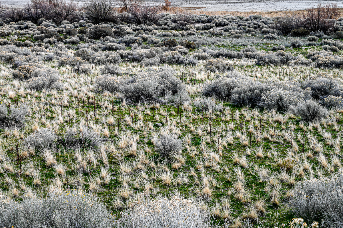
Saltwater Marsh
The saturated green ground cover provides contrast for the grasses and the shrubs.
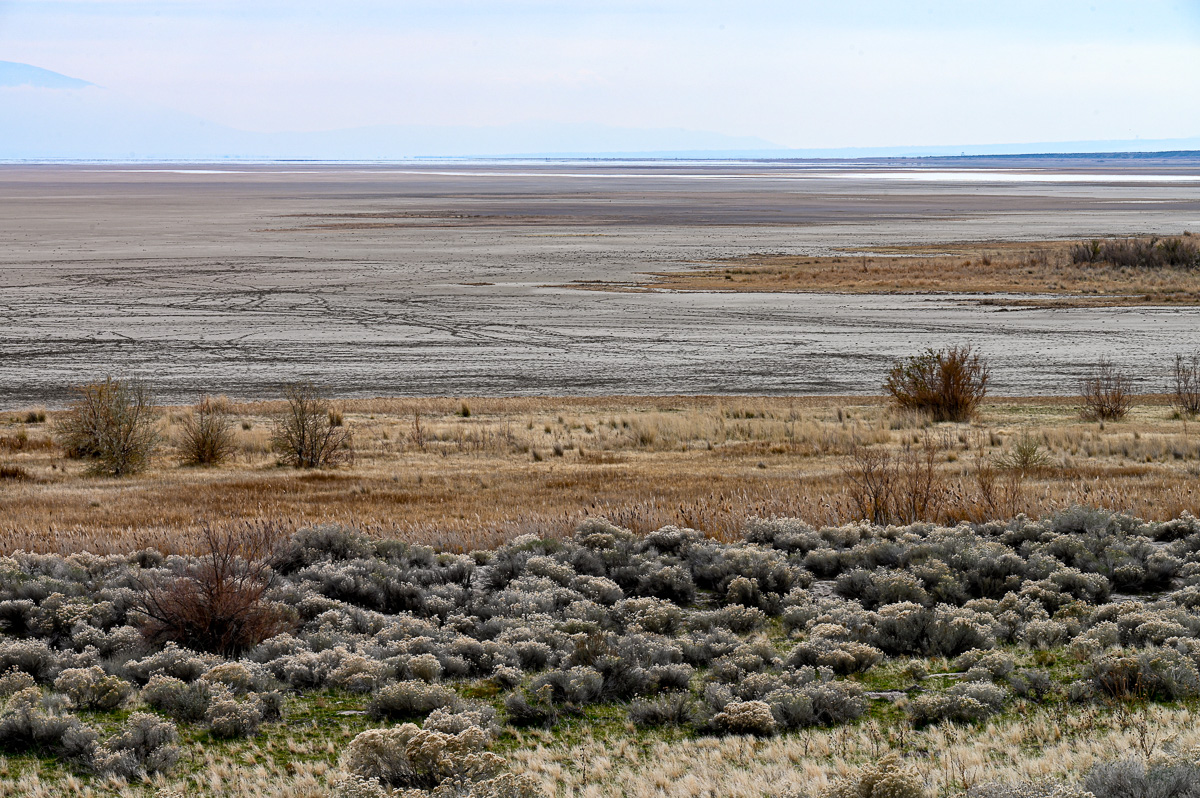
Saltwater Marsh and Mudflat
Until recently this mudflat was covered by the water of the Great Salt Lake. The lake is now at an historic low. I miss the water, although I consume the agricultural products raised from diverting the water before it reaches the lake. Nevertheless, the expanse of the mudflat surprised me. I am used to barrens of water, snow, sand, and alkaline flats but not of mud.
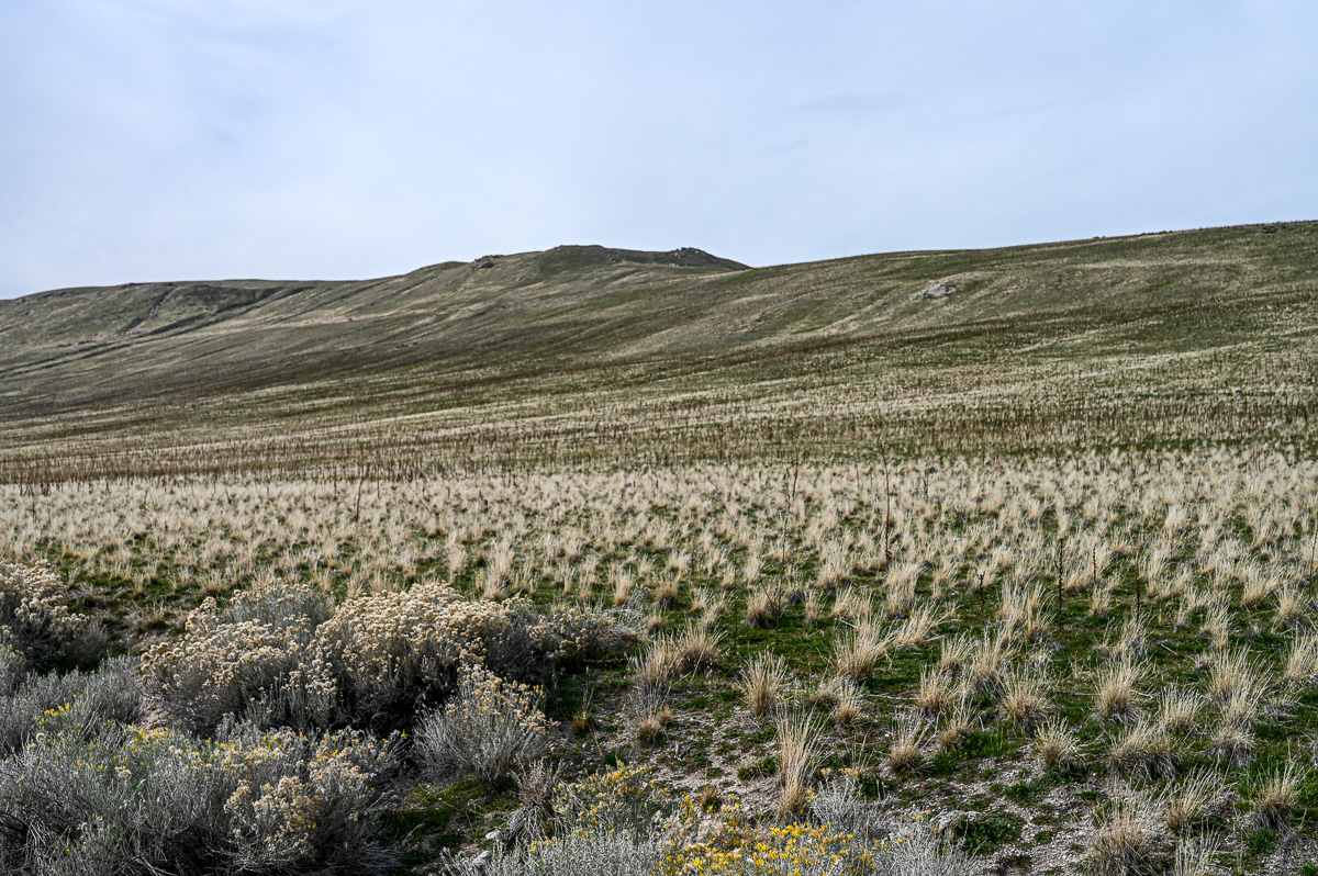
Saltwater Marsh Gives Way to Foothill Ridge
This scene is tilted, although the camera was level. The paradox is resolved by knowing that the landform is uplifted to the right (north). I have driven past here dozens of times but never noticed the uplift until this outing. The more often I visit Antelope Island, the more it shares its secrets.
Not a Blue-sky Day
The interaction of the clouds and the landmass fascinates me. Notice the cloud’s three ventral fins and how they may inversely correspond to the notches in the ridgeline. The sun is in the upper right corner.

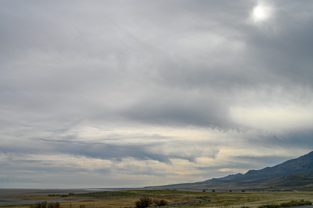
A Busy Sky on the Eastern Edge of the Great Basin
Again, not a blue-sky day but much to wonder about. The tallest peak on the left is Ben Lomond, named after the famous mountain in Scotland. We locals have always called it “Mount Ben Lomond” revealing our ignorance of the Scots language in which ben apparently has connotations of mountain.
Endnote
At first, I struggled with this post. I went on this outing with preconceived ideas and was not optimistic about what I was finding. Twice I aborted the post, but the outing and the images gradually grew on me. I am now pleased with the results.
Your host to often overlooked wonders,
Michael
I love all your posts and pictures, but I’m always drawn to the ones with clouds. The last picture is a great illustration of a stable boundary layer, with the haze and pollution trapped in the surface inversion. May I use this picture in my classes? My students are all from the East Coast and don’t get to this as plainly as is illustrated in your photo.
By all means! I learn so much from your comments. Intellectually, I frequently remind myself about the unique perspectives coming from living on the boundary of the Great Basin and the Rocky Mountains. But emotionally I get too accustomed to the beauty in spite of my efforts. Your comments are one of the great joys I experience from providing this blog.
Dear readers, After I posted this reply, Alex sent me an email. It is supercool. Dr. Alex is a professor of atmospheric sciences at Millersville University in Pennsylvania. Keep in mind the ridgeline of the mountains is 9000 feet (2743 meters) and higher, while the valley floor is about 4300 feet (1310 meters). Here is Alex’s email:
I pulled up the sounding from the Salt Lake airport from the morning of November 8. Based on the temperature profile and winds I would estimate the top of the haze layer to be around 7000 feet (2134 meters), which corresponds well to the last photograph in your blog post. I’ve attached the annotated sounding plot. I also indicated where the cloud layer likely is located.
If you are trying to line up the top of the haze layer against the mountains, keep in mind that you are looking slightly up through the layer, so it appears higher than 7000 feet when compared to the mountains.
Neat pictures!